A Brutal Hike to the Historic Echo Mountain
ALTADENA | LOS ANGELES
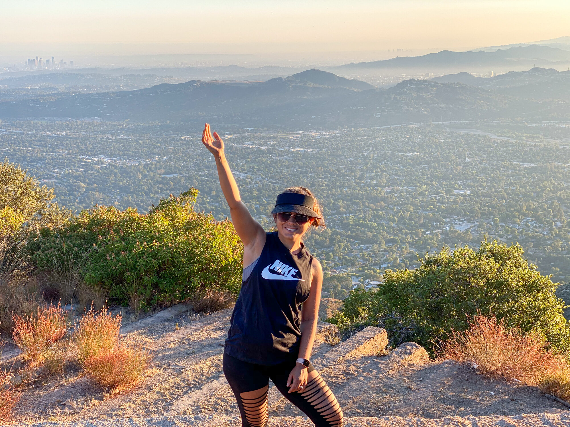
This blog is about bad decisions and the stubbornness to turn back. The Echo Mountain hike in Los Angeles is one of the most rewarding historical hikes that you can do in the area. It is supposed to be a wide, relatively easy but mildly strenuous uphill hike that takes you from the top of Altadena to the ruins of a mountaintop resort. In total, when done correctly, the hike is 5.8 miles with about 1,400 feet of elevation gain. This blog is about how we ended up in the same spot but covering 8+ miles and over 2,000 feet in elevation. I DON’T RECOMMEND IT! I will also give you a potential alternative route if you are adventurous and want to extend the hike.
WHITE CITY | ECHO MOUNTAIN
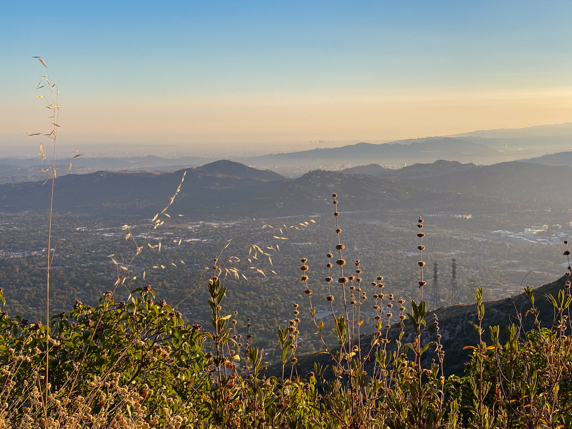
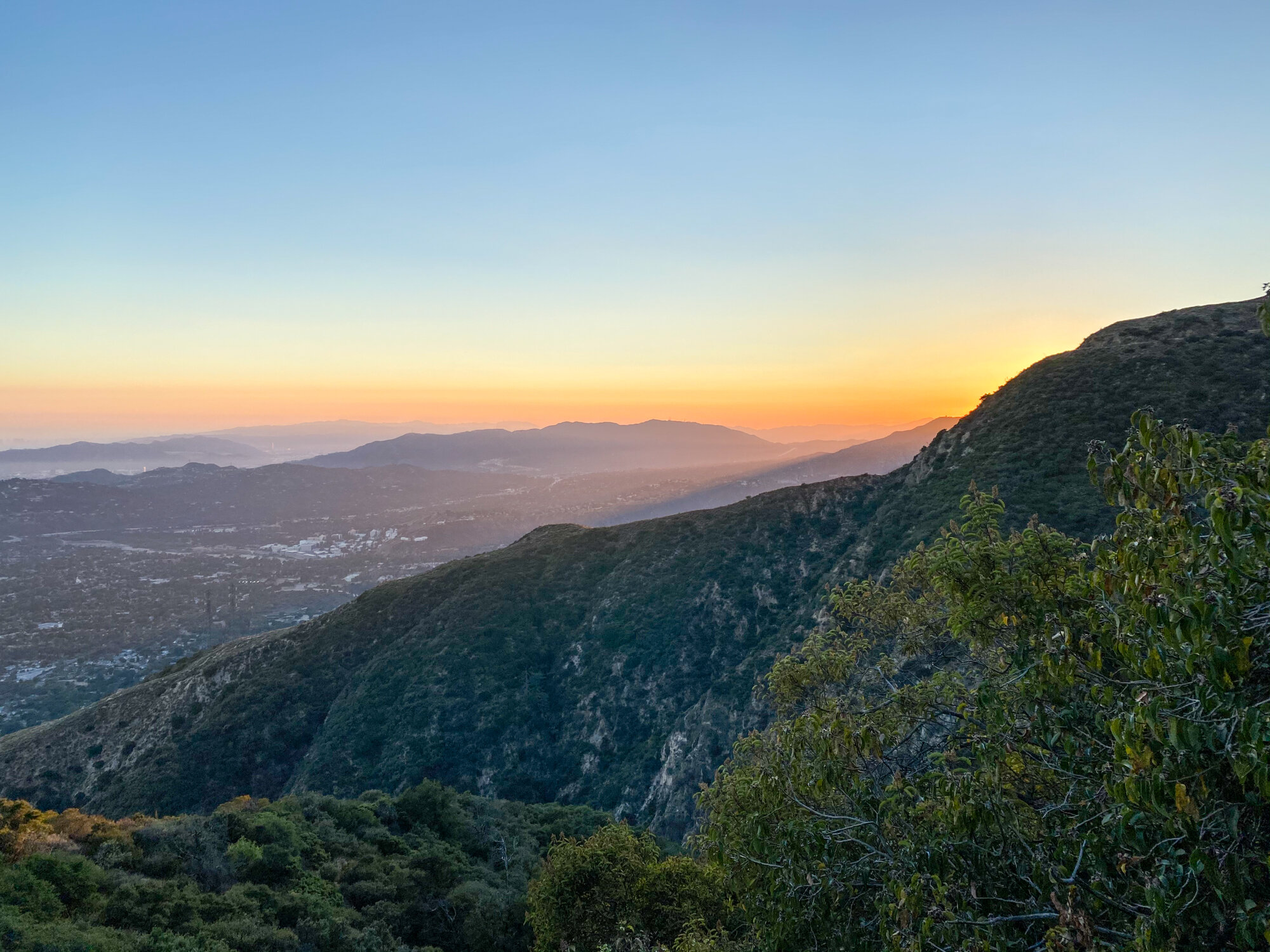
On the 4th of July, 1893, the Mount Lowe Railway which served the Echo Mountain house officially opened. White City, as it was known was was a luxury resort built to rival Hotel del Coronado. It stood for less than a decade before a fire completely destroyed it in 1900. However, the railway continued to operate and served three other resorts along its path. During its 45 years of operation, over 3 million people had the opportunity to ride the scenic railway. Today, all that remains are a few remnants of the tracks, some infrastructure and the frame of a railcar. Some of the stairs and foundation are all that is left of the resort. Nonetheless, it is a great day hike and offers incredible views over Pasadena and the rest of Los Angeles. There is even an “echophone” that you can speak into and listen for your echo to come back from the mountains.
ECHO MOUNTAIN HIKE
As I mentioned, our route on this hike was a mistake and so I have included a map to use as a visual below. Lots of people do this hike everyday so more than likely you could just follow the crowd and find your way, but where is the fun in that? The most popular starting point is from the Sam Merrill Trailhead which doesn’t have a parking lot so you will need to find street parking near the corner of Lake Ave and East Loma Alta Drive in Altadena, CA. From there, you will see a set of gates that you can make your way past – don’t worry, you haven’t taken the long turn yet. If you take a look at the map, you can see two routes in blue, one I labeled the right way and one I labeled the wrong way. The right way is a 5.8 mile hike with 1,400 feet of elevation gain taking you to the top of Echo Mountain. The wrong way takes you a mile or so up 500 feet and ends at a giant water tank. If you take this route, this is where you get to make a decision.
ECHO MOUNTAIN HIKE | THE WRONG WAY
My wife, Amanda, wanted to hike back down to the wrong turn that we took and do the hike the right way. Me, being adventurous, saw a narrow, single-track trail that looked like it looped around the canyon that stood between us and where we needed to be and wanted to try taking that route. We asked a guy that was servicing the water tank and he indicated that it would lead us to where we wanted to go but advised to go back down and take the other route for time’s sake. As you can probably guess, I didn’t listen. There were a group of five or six other people that had made the same mistake that we did at the bottom and also decided to take the alternative route. Just a few feet down the single-track trail, there was another choice, right or left. We chose to go right, which led us in the direction that we wanted to go and into the canyon – remember this junction as I will come back to it later. As we continued, the path opened up a bit and looked like a clear trail (albeit still not like the wide, well-worn path of the main trail) but was hard to traverse in some parts. There were spots of soft sand, some rock scrambling and tough, off-camber distances. The trail would climb and the descend. The nice thing about this trail was that most of it was in the shade, covered by trees and brush. We got to a couple spots where the trail would come into a clearing and seem to end and then pick back up a hundred yards further. After more than an hour of hiking this trail, we came to a spot that seemed like we needed to go up this steep side – there was even a steel wire that hung down that we could pull ourselves up. As we started to climb the face, the rocks and debris started to fall and we could hear the group in front of us. They were turning back because the trail just ended. As they made their way back to the bottom, they were giving up and heading back down the canyon. You could still see that there was another option to continue up the canyon but it looked tougher than what we had already traversed and less used. I made the decision to see where it went while Amanda waited for me there. I got to a point, a few hundred yards further that looked like a landslide. It was extremely tough to make progress because it was steep and the sand was deep. I marked that spot on the map with a red marker. I was able to get enough cell signal in the canyon to find it on the satellite image on google maps. You can see that it is so close to the main trail that we were trying to get to but hundreds of feet below it with no way to get there. Finally, much later than I should have, I decided it was time to throw in the towel and head back to the bottom. Once at the bottom, exhausted and getting late in the day, we made another bad decision, to hike the main trail to the top of Echo Mountain. I guess the COVID lockdown has really taken a toll on my endurance because I was beat and needed to stop too many times to count on the way to the top. I seriously contemplated the idea of spending the night at the top and trying to make my way down the next morning.
ECHO MOUNTAIN HIKE | THE ALTERNATIVE ROUTE
As I mentioned earlier, from the water tank, just after you take the single-track, there is an option to go left or right. In a closer look at the satellite map, it looks like if you go left, the trail will swing around a ridge and connect you to a fire road that will eventually lead to the Echo Mountain trail. I have marked that route in yellow on the map. Full disclaimer – I have not taken this route and do not have plans to at this time but would love to hear if anyone has or knows whether this trail is truly an alternative route to Echo Mountain. There are other ways, from other starting points to get to the top of Echo Mountain. No matter which way you go, I would suggest a hike to check out the ruins of the Mount Lowe Railway and the Echo Mountain resort.