Hiking Tallest Point in Santa Monica Mountains | Sandstone Peak
SANDSTONE PEAK | MALIBU, CALIFORNIA
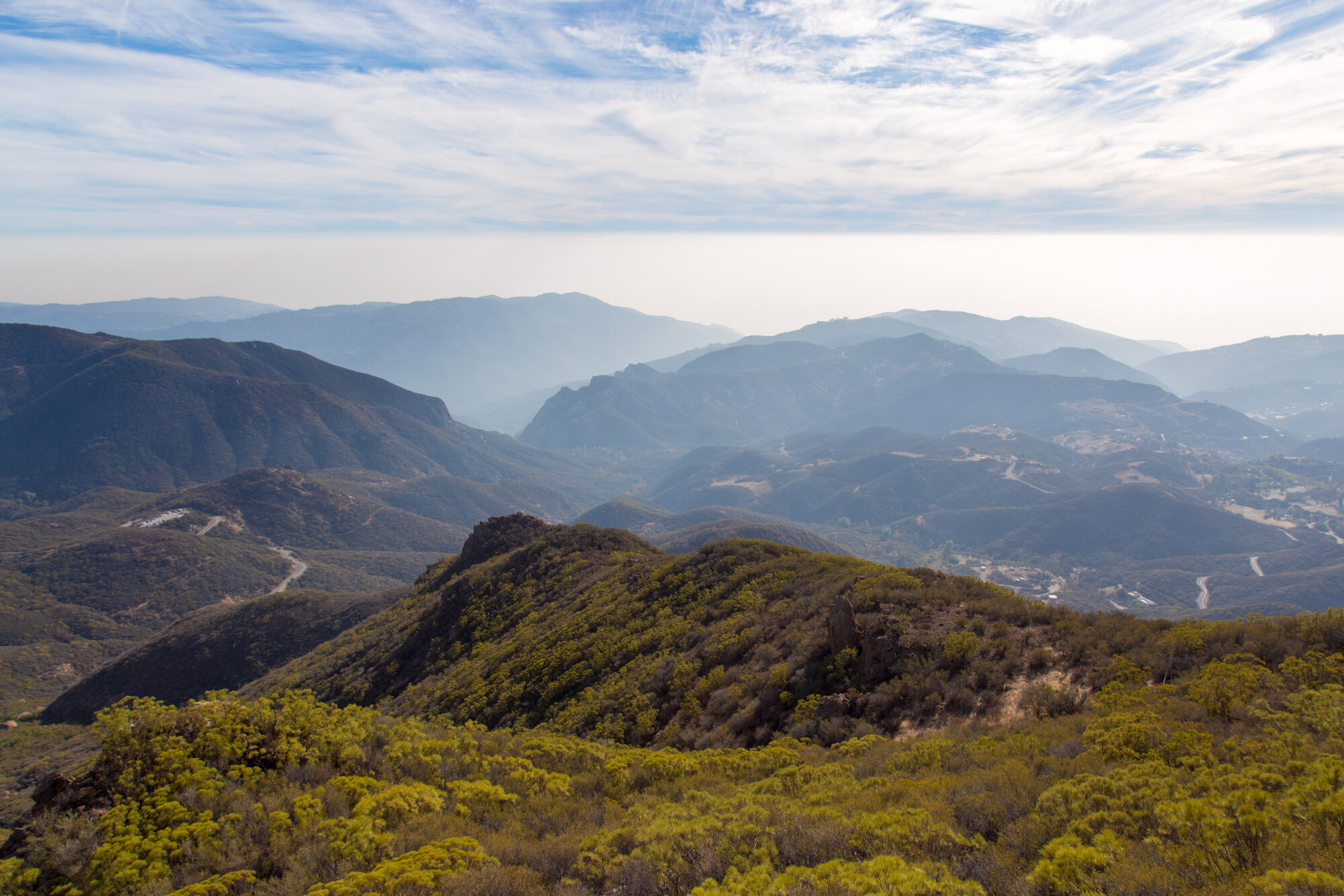
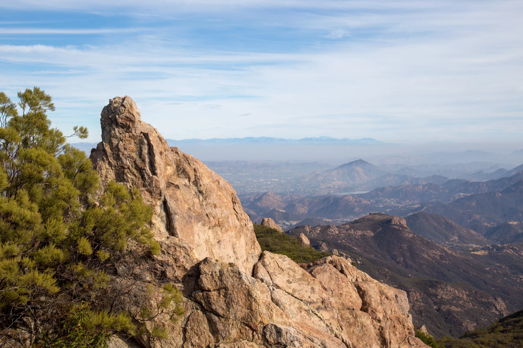
Mt. Allen, as it was named by the Boy Scouts, but better known as Sandstone Peak is the tallest point in the Santa Monica Mountains. It stands 3,111 feet above the Malibu coastline below and is a perfect place to have a picnic and take some photos on a beautiful day. This is just what Amanda and I did yesterday, the day after Christmas.
THE SANDSTONE PEAK ROUTES
There are two routes to the top. The shorter but more intense (steeper) way is straight up from the trailhead parking lot. It is a constant climb for the 1.5 miles, about an 1,100 foot elevation gain, but is the quickest way to the peak if you are just set on taking in the views. An alternative route is 4.5 miles along the Mishe Mokwa trail with around 1,400 foot of elevation gain. You can combine these two and see the entire 6-mile loop, which is just what we did.
THE 1.5-MILE ROUTE TO SANDSTONE PEAK
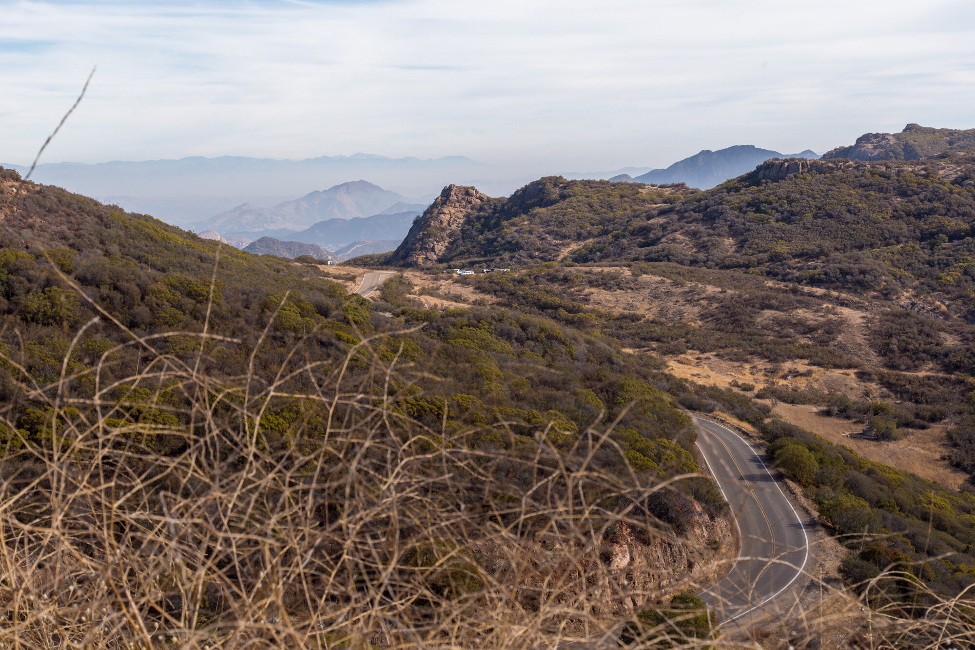
We started from the parking lot at 12896 Yerba Buena Road, Malibu, CA 90265 (keep in mind that there are two parking lots). First, we decided to do the 1.5 mile trail to Sandstone Peak so that we could have a picnic on top. The day had some haze, so, while the views weren't perfectly clear, I kind of prefer the haze to give the mountains some character and mystery. The trail wasn't that difficult and was mostly a gravel and rock base. The last 1/4 mile or so is a very narrow trail that opens into a bit of rock scrambling across a kind of slick rock face. We stopped and took some photos along the way but it only took us about 40 minutes to get from the parking lot to the peak.
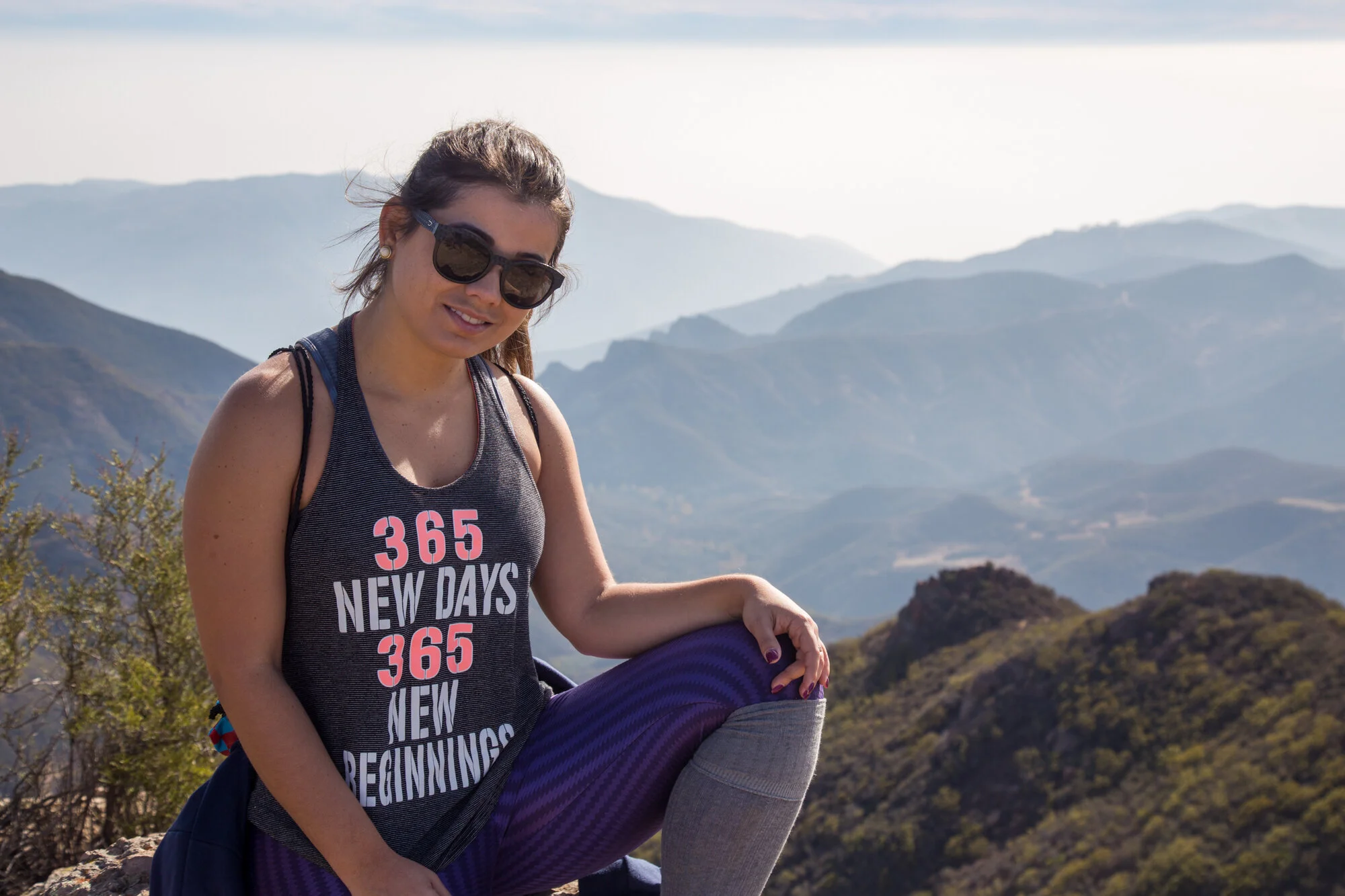
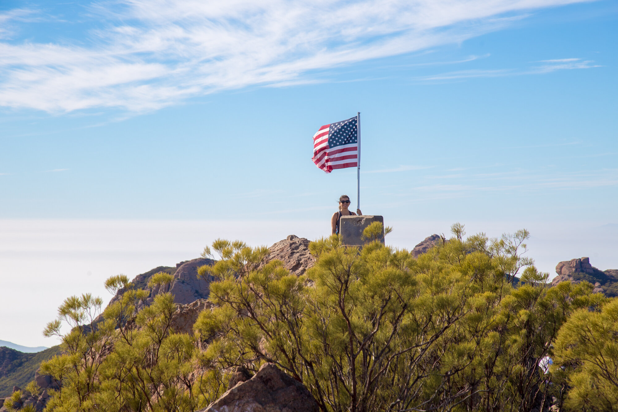
PICNIC ATOP SANDSTONE PEAK
Once at the top, we had our lunch and enjoyed the views. Of course, we took lots of photos as well. We spent around an hour or so exploring the peak, signed the log checked out a few of the other rock outcroppings and decided to head back down. It was only 2:00 by this point so we opted for the 4.5 mile route back to the parking lot.
THE 4.5-MILE ROUTE TO SANDSTONE PEAK
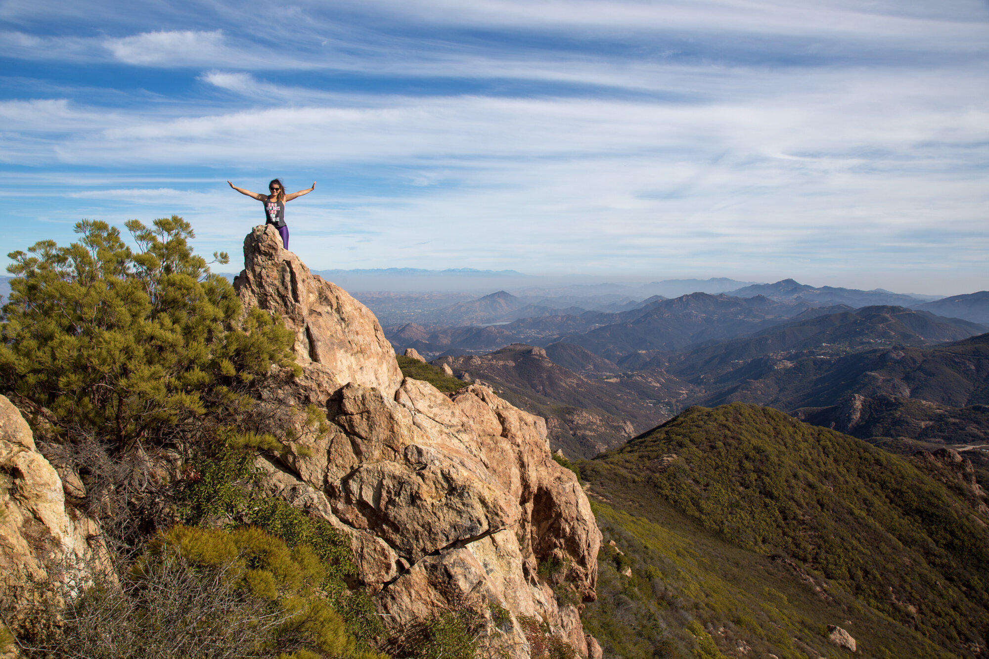
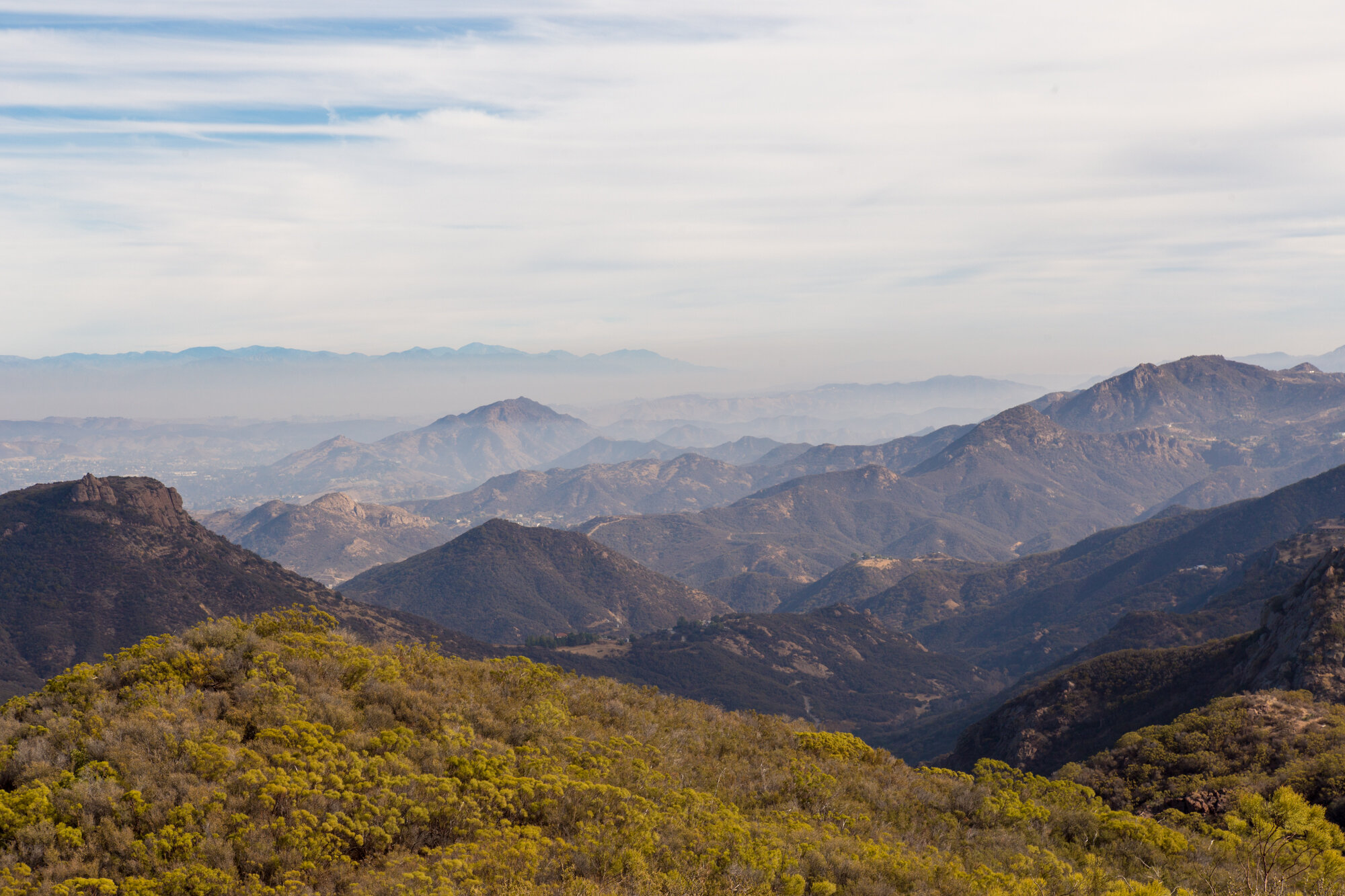
Most people that decide to do the 6-mile loop, do it the other way around. The 4.5-mile route takes you past Tri-Peaks, the Backbone Trail, Split Rock and Balanced Rock. Split Rock is a nice shaded place with a picnic table that you can stop for a rest. There isn't much shade on most of the trail. There is a portion of a rock face across the canyon, between Split Rock and Balanced Rock, where you can see rock climbers practicing their skills on most days. Balanced Rock, itself, is pretty impressive when seen from afar. There is also a trail that splits off (not NPS maintained) at Split Rock that will take you to Balanced Rock. We did not take the trail since we wanted to get back to catch the sunset at the beach. Luckily, there was a couple people at the rock which helps give it scale.
THE YERBA BUENA PARKING LOT
When taking the loop this way, you have to make sure that you take the right fork at the split in the trail after Balanced Rock. This takes you back to the starting point, the other fork takes you to the other parking lot. The parking lot was a welcome sight for us as we were tired and the sun was sinking low in the sky. As we loaded our stuff in the Jeep, I noticed that the way the light was illuminating the mountains was amazing. I took a series of my favorite photos from the parking lot and could have spared us the 6-mile hike. I'm just kidding, the hike is one that is not to be missed and you will be happy that you did it, no matter whether you take the 3-mile out-and-back or the 6-mile loop. Let me know if you have ever done the Sandstone Peak hike and what you thought of it. I would also welcome any other suggested hikes that I should check out. Leave me a comment down below or over on Instagram.